Paraglacial Landscape Evolution in the Upper Mississippi River Valley
Plow versus Ice Age: Human and climatic impacts on erosion rates in the Upper Mississippi River Valley
Euro-American settlement irrevocably altered the landscapes of the Upper Midwest and dramatically increased erosion and sedimentation within river valleys. In this project I use a paired geochronology (cosmogenic 10Be and optically stimulated luminescence) approach to construct a pre-settlement, late Pleistocene paleoerosion chronology to better contextualize the impacts of Euro-American agriculture on this landscape. I additionally relate paleoerosion rate variability to paleoenvironmental shifts prior to settlement.
See: Penprase et al. (2025)


Glacially-Derived Slackwater Sediments and Deglacial Meltwater Routing (Undergraduate Advisees)
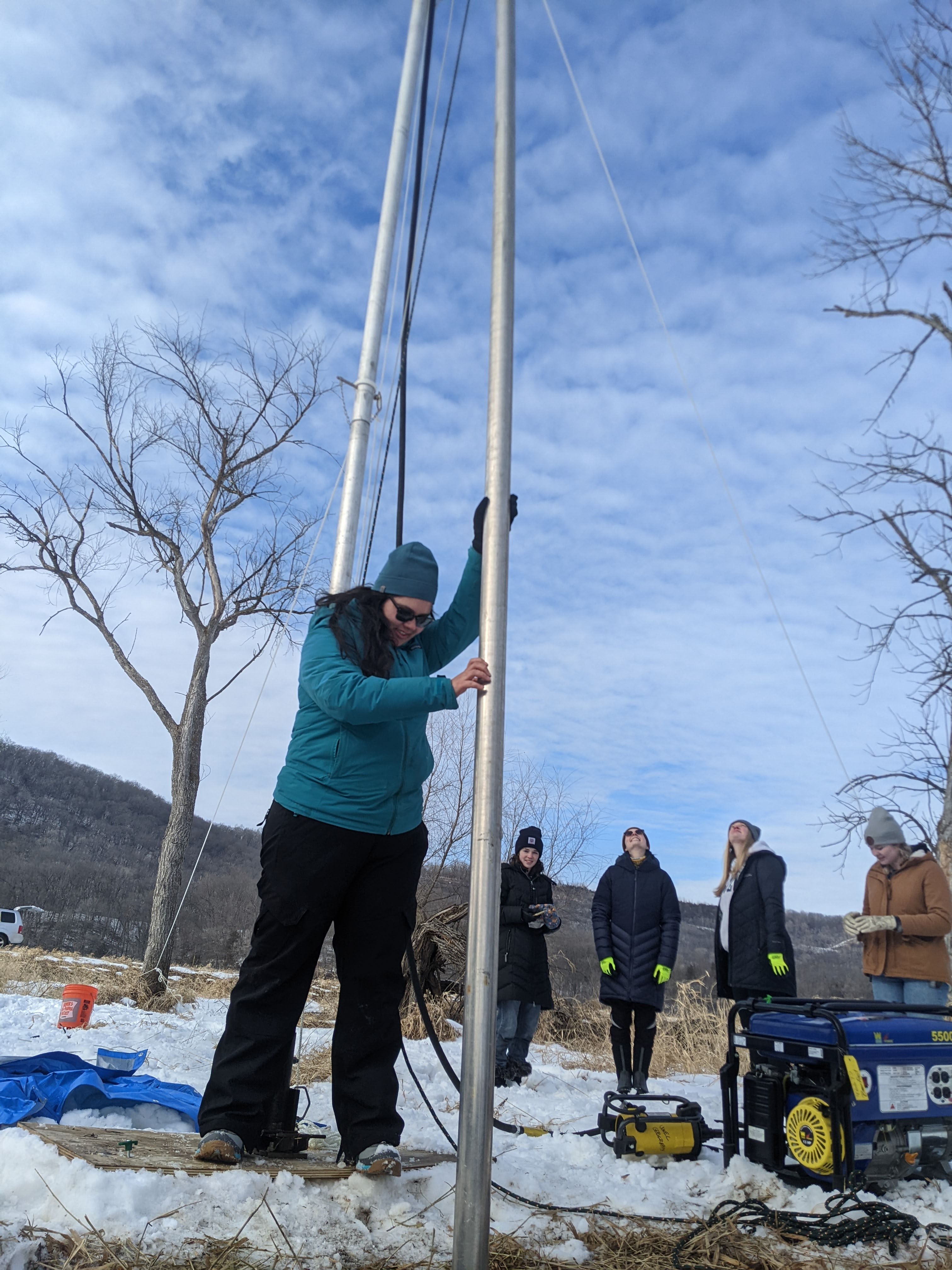
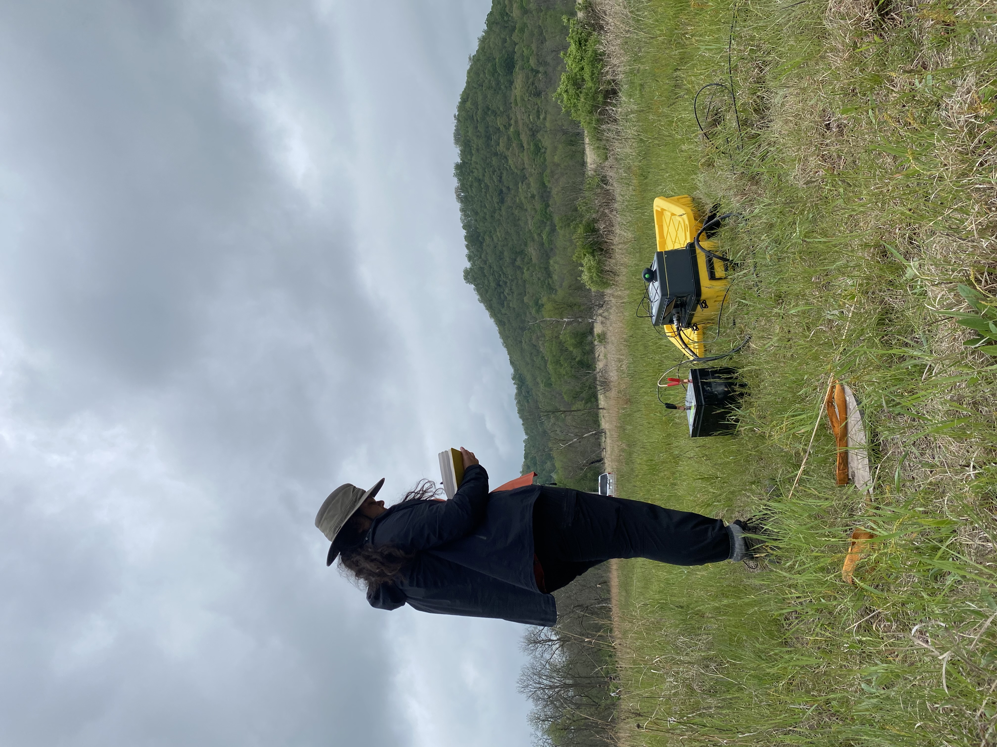
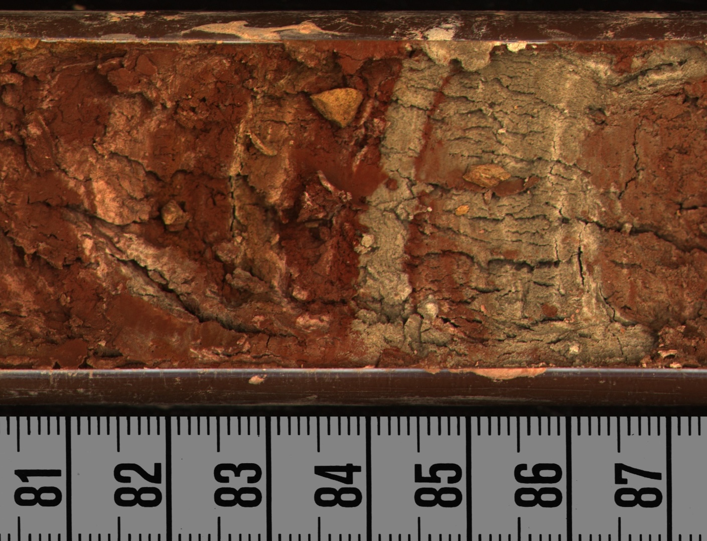
In this project, I am working with UMN Undergraduate Abigail Wilwerding, to understand the source of glacially-derived slackwater sediments collected near the mouth of our field area in southeastern Minnesota. We are using a combination of core description, optically stimulated luminescence (OSL) and X-ray fluorescence (XRF) to identify these sediments and relate their deposition to past glacial meltwater routing down the Mississippi River. This project aids our understanding glacial sedimentation and sediment sourcing of the Mississippi River during the most recent glacial period.
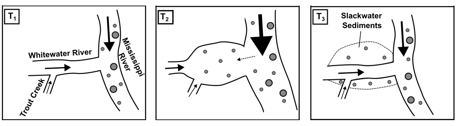
Glacially Modulated Base Level Change Impacts on River Channel Long Profile
As the Laurentide Ice Sheet retreated after the Last Glacial Maximum, pulses of glacial sediment and meltwater dramatically altered base level for tributaries connected to the then proglacial Mississippi River. By pairing glacial chronology with river channel long profile evolution and bedrock morphology during this period, we are able to build a field-based dataset that demonstrates how rivers respond to changing base level without additional tectonic signals. This, in turn, allows us to test models of how transport-limited river systems respond to perturbations using real world, physically-based data.