Kettle Depressions: understudied, yet key features on post-glacial landscapes
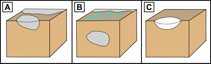
Kettles depressions form when an ice block from a retreating ice margin is buried and melts, leaving behind a depression at the landscape surface. Kettle lakes form when these depressions are filled by groundwater and are one of the most abundant lake types on our planet. The formation of these landforms is directly related to paleoice distribution, ice margin dynamics, and proglacial depositional processes.
Yet, despite how widespread kettle depressions are on the landscape, we lack fundamental understanding of how ice burial processes shape resulting depression morphology and landscape roughness. Understanding this relationship can help us understand glacial retreat of the past and post-glacial landscape evolution of the future.
Project Framing
“KEtTLE”: Key Equations for depression morphology from ice buried at the glacial Terminus using Lab-based Experimentation
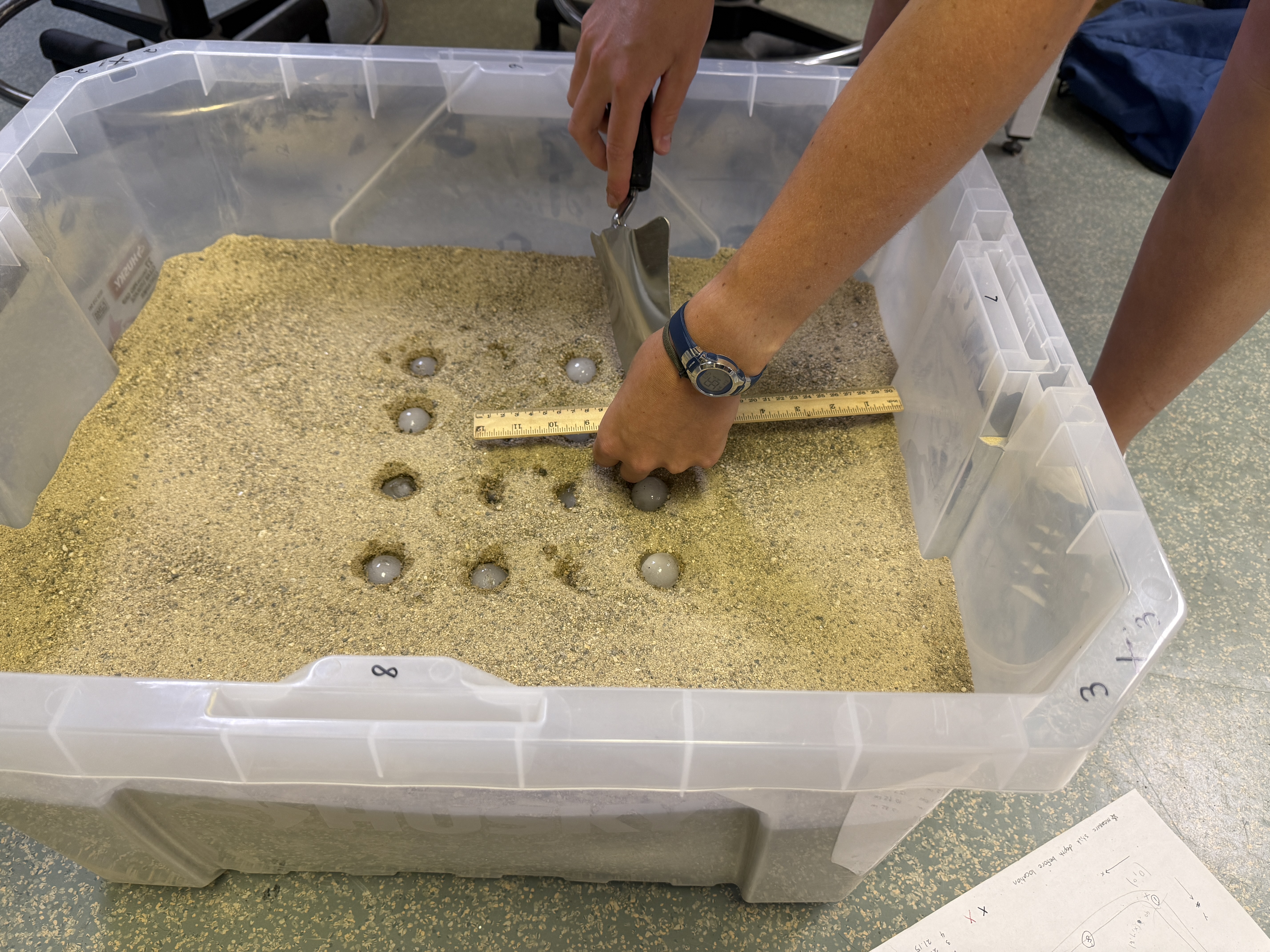
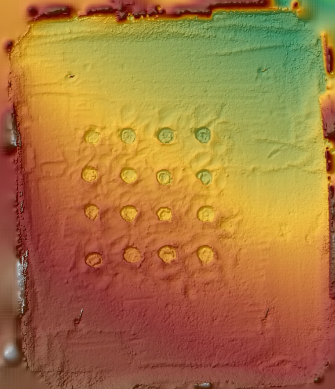
This project uses laboratory experiments and structure from motion photogrammetry to create kettle depressions in the lab, generate digital elevation models of resulting surface topography, and compare laboratory parameters to real-world kettle landscapes.
Undergraduate Research: Laboratory Experiments at Dartmouth College
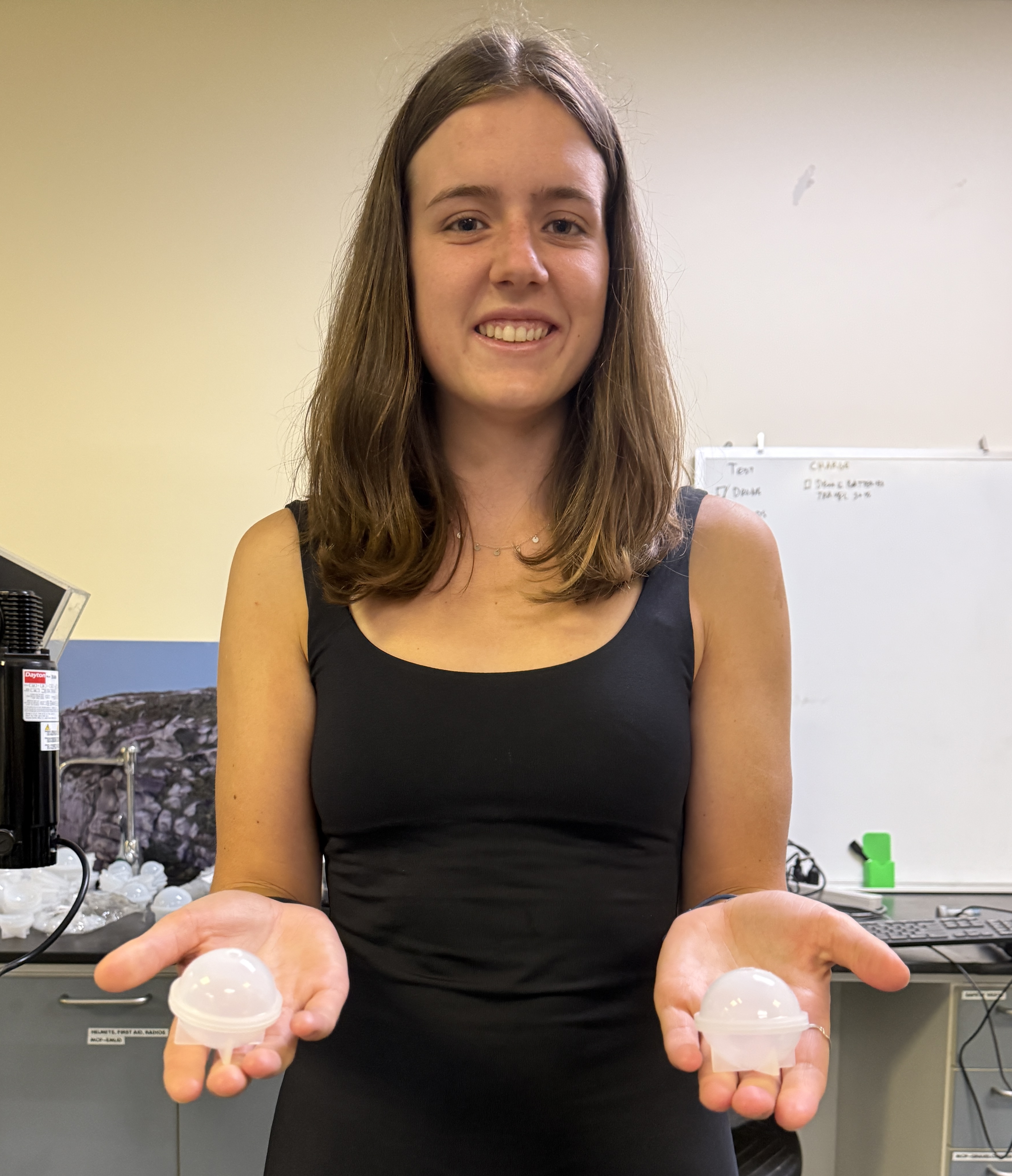
This work is being completed by two Dartmouth undergraduate research students: Lang Burgess and Laura Wilson. The project builds upon research completed by Jillian Prescott and Professor Luke Zoet at University of Wisconsin Madison (Prescott et al., 2024).
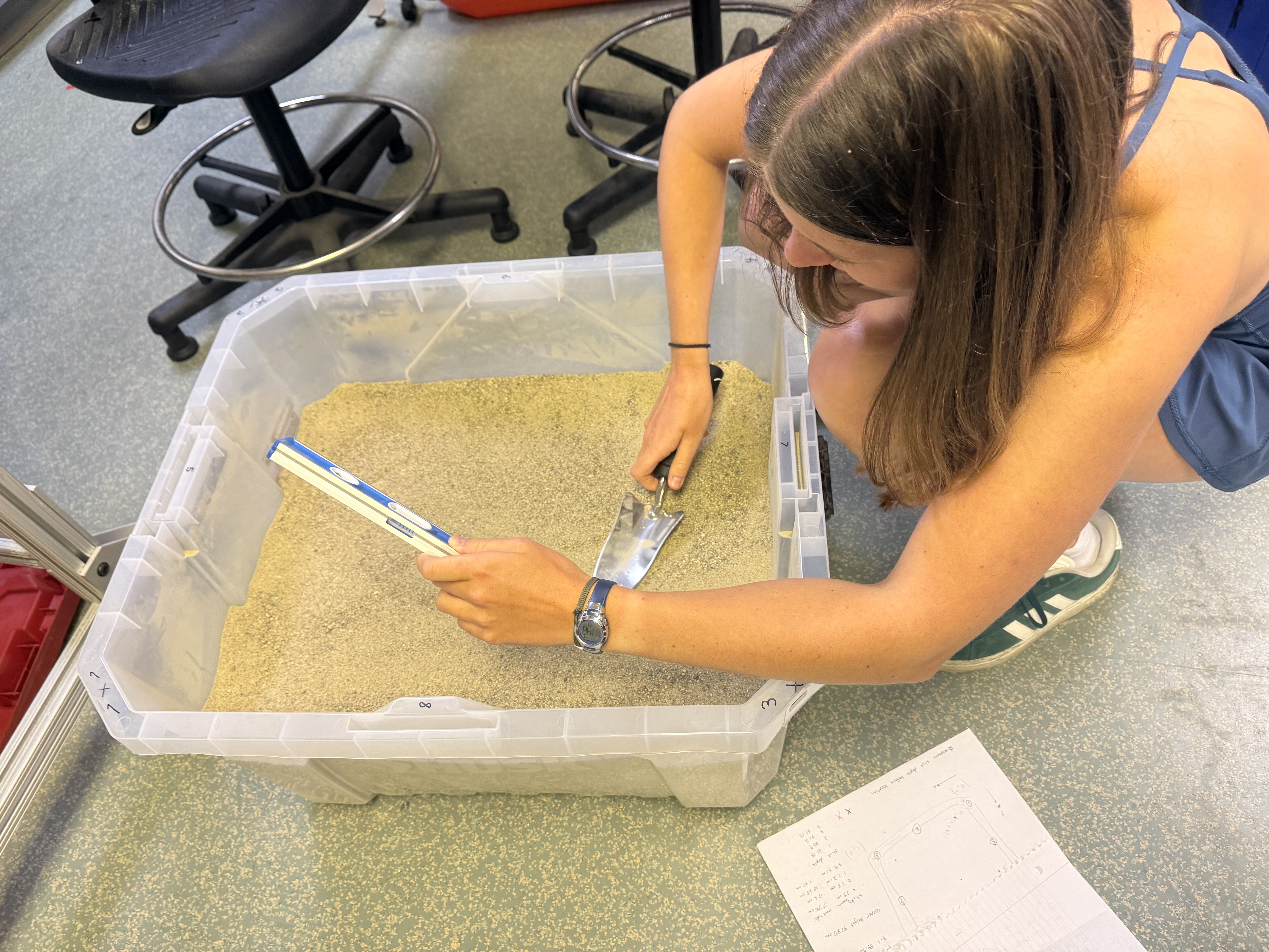
Using structure from motion photogrammetry, we have generated DEMs of our preliminary laboratory experiments and are in the early phases of comparing our resulting topography to real landscapes in northern Alaska, Greenland, and Wisconsin.