
Using slackwater sediments and fluival terraces, I completed two projects studying how river systems in the Upper Mississippi River Valley both record and are recovering from the retreat of the Laurentide Ice Sheet.
Slackwater sediments: geochemical records of meltwater change
Slackwater sediments are deposited at the mouths of tributaries due to inundation by water along the mainstem river. These fine-grained deposits preserve sediments carried down the mainstem river.
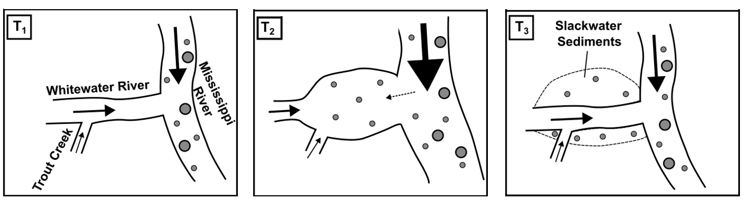
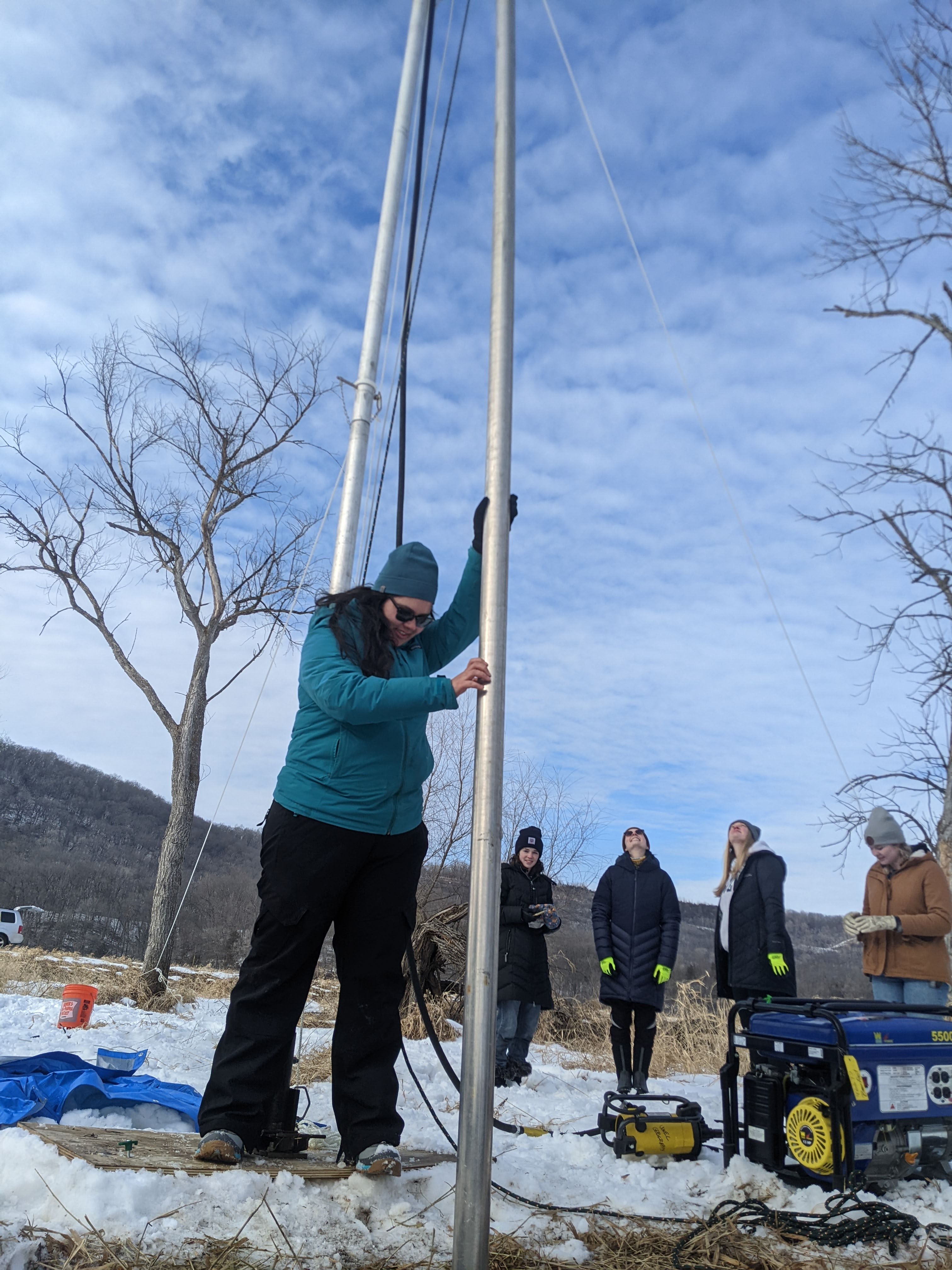
In this project, I worked with UMN Undergraduate Abigail Wilwerding, to understand the source of glacially-derived slackwater sediments collected near the mouth of our field area in southeastern Minnesota.
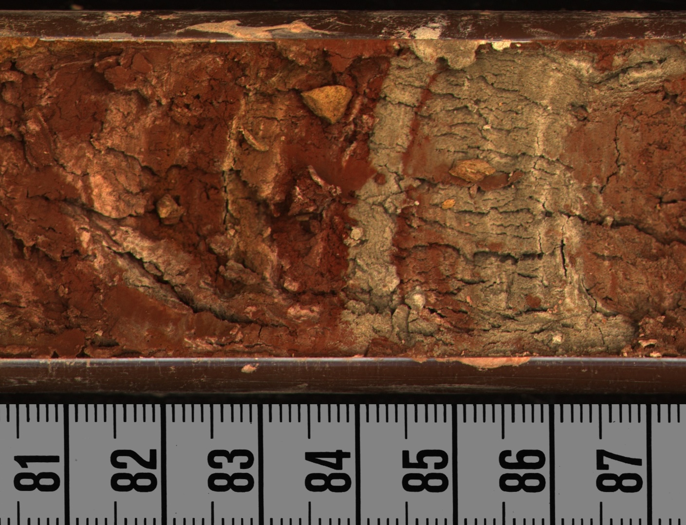
Examples of sediments preserved in our core. The tan to gray left sediments are likely from the former Glacial Lake Agassiz basin to northwest of our field site. The red sediments on the right are likely from the Superior Basin, to the northeast of our field site.
To identify sediment provenance for this project and reconstruct past glacial meltwater routing down the Mississippi River, we used a combination of sediment core description, optically stimulated luminescence (OSL) and X-ray fluorescence (XRF).
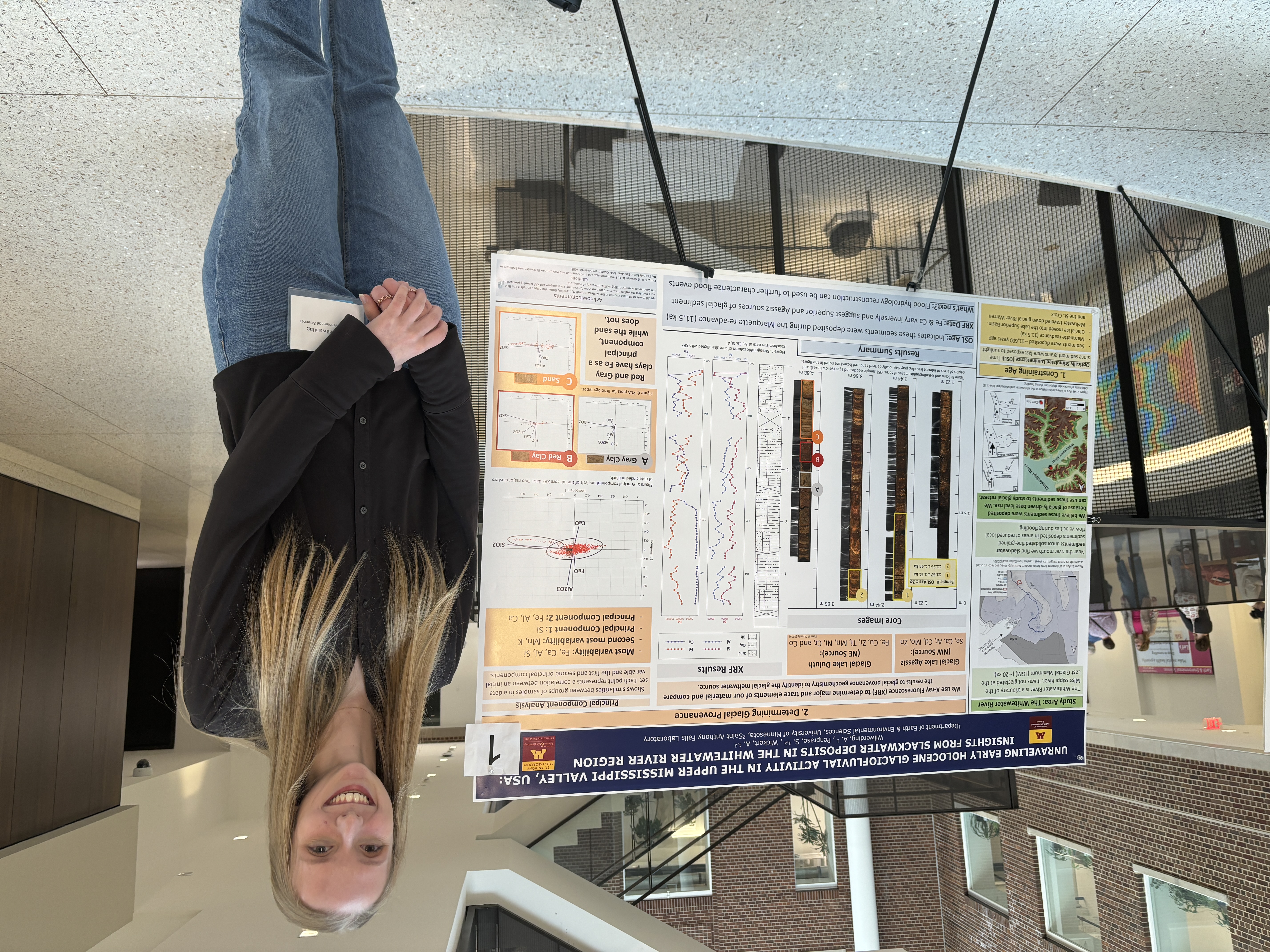
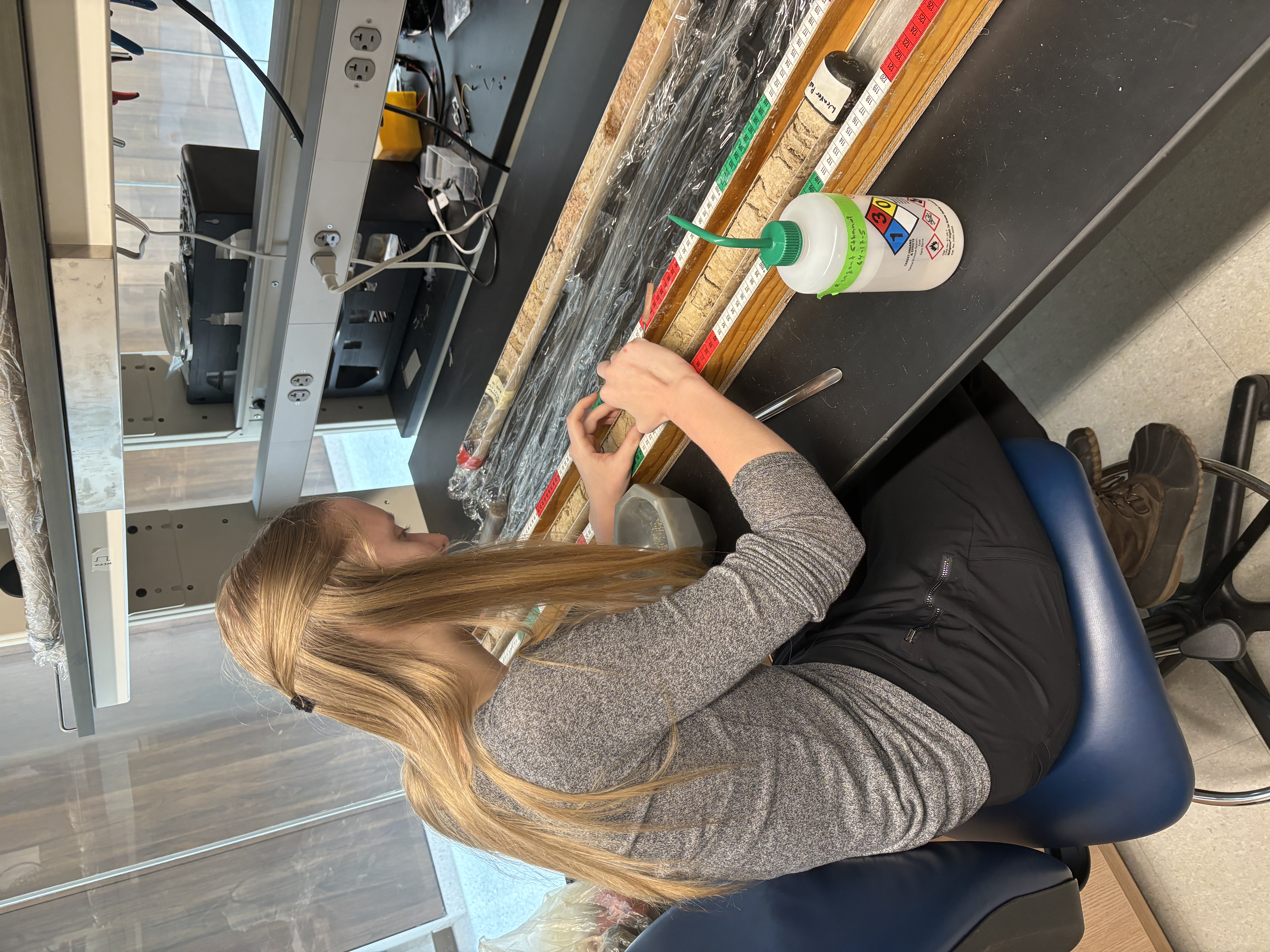
Abby working hard presenting her research at the UMN EARTH Reseach Symposium and subsampling sediment cores! Abby also presented her work at the 2024 GSA North-Central, South-Central Regional Conference.
This project aids our understanding glacial sedimentation and sediment sourcing of the Mississippi River during the most recent glacial period. This work is part of a manuscript currently in review (see publications page)
Downstream signatures of deglaciation on fluvial systems
As the Laurentide Ice Sheet retreated after the Last Glacial Maximum, pulses of glacial sediment and meltwater dramatically altered base level for tributaries connected to the (then proglacial) Mississippi River.
By pairing glacial chronology with river channel long profile evolution and bedrock morphology during this period, we are able to build a field-based dataset that demonstrates how rivers respond to changing base level without additional tectonic signals. This, in turn, allows us to test models of how transport-limited river systems respond to perturbations using real world, physically-based data.
This work is part of a manuscript currently in preparation (see publications page).
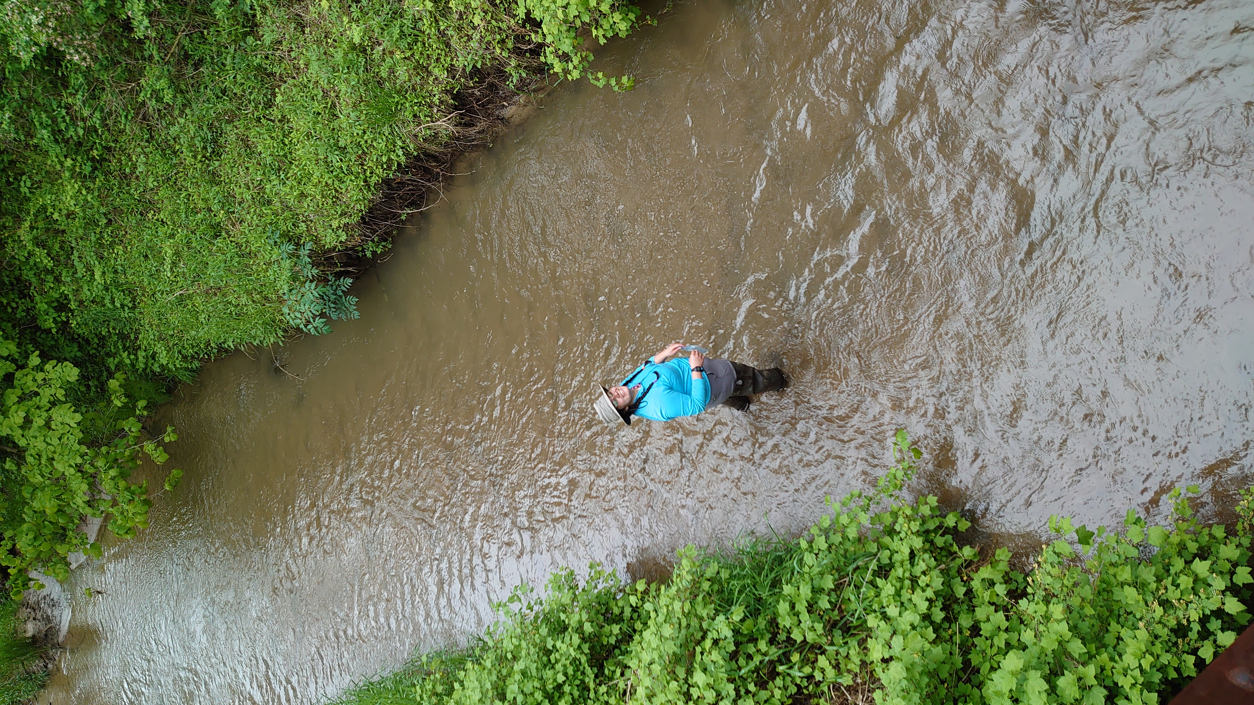
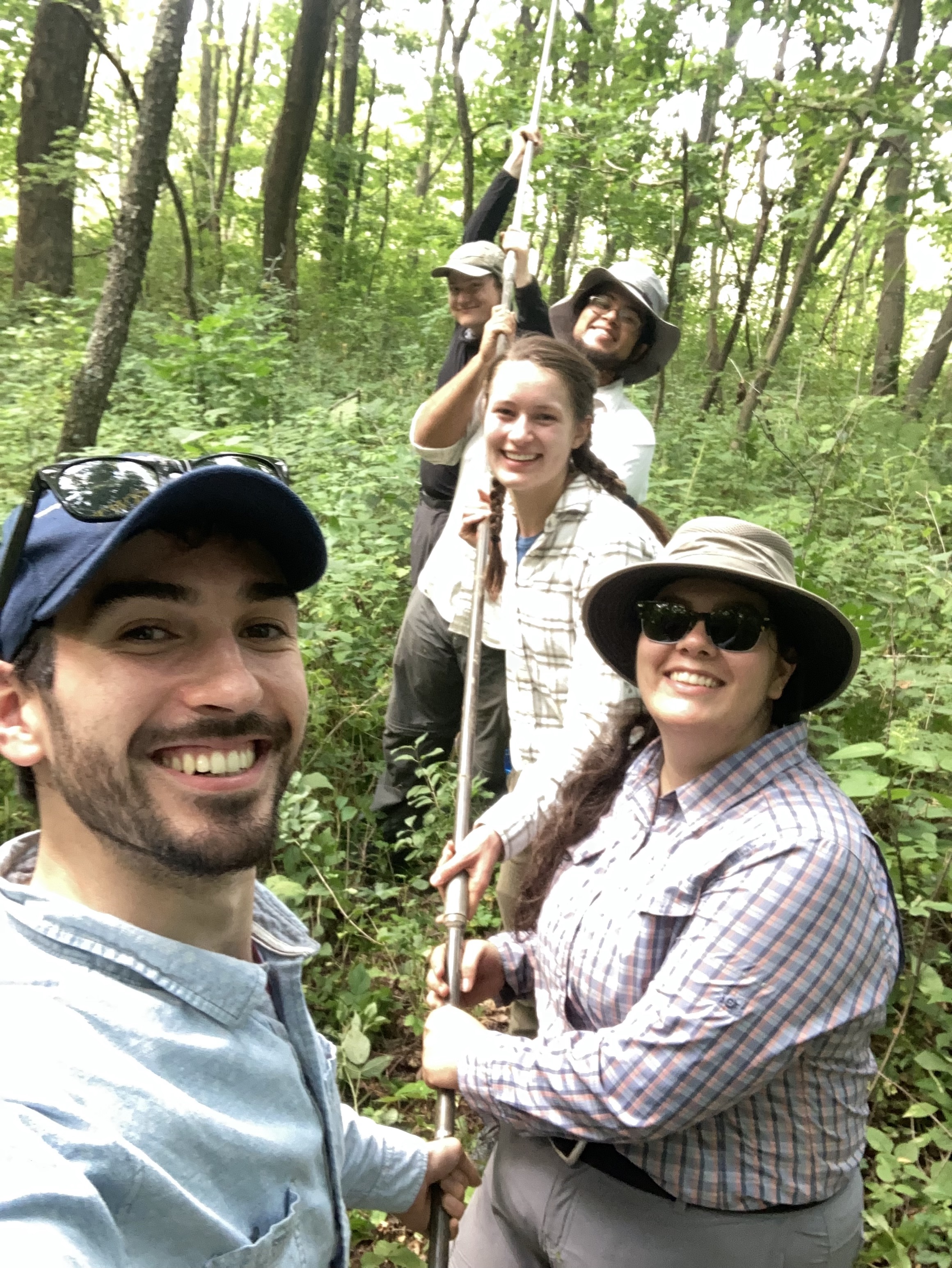
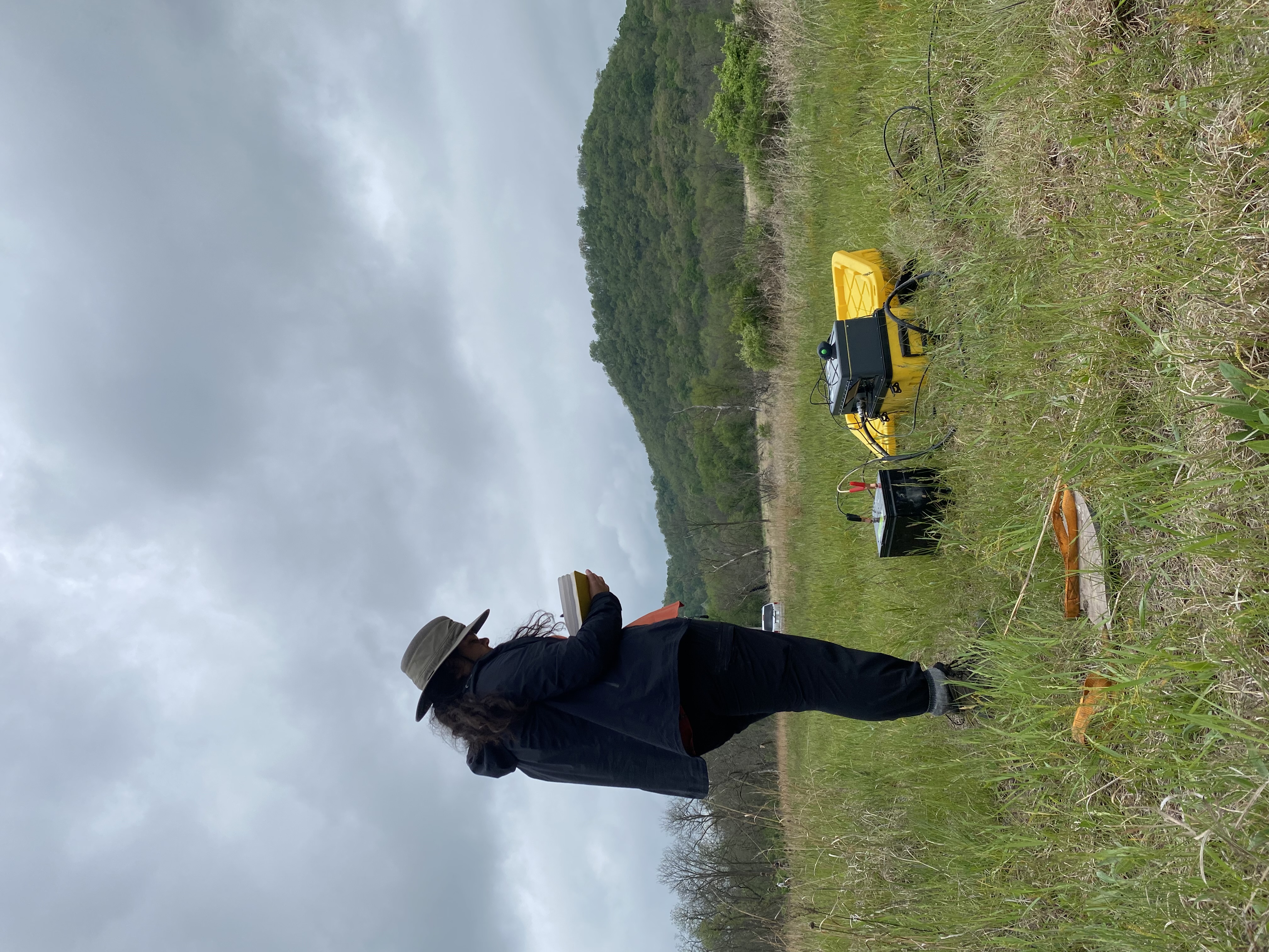
Left: Sampling river sediments; Right: Augering river terraces in Southeastern Minnesota, USA